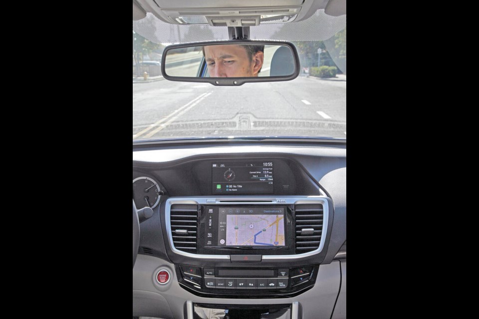
GPS on your smartphone is one of the greatest pieces of technology ever created. From inside a device a little larger than a deck of cards you can plot a trip anywhere in the world or find out where you are within seconds.
Smartphone mapping systems, or SatNav found in any new vehicle these days, is truly a miracle of the digital era — until it isn’t.
Last week the family of a North Carolina man filed suit against Google for failing to correct a critical error in their mapping program, which led to the death of Philip Paxton.
Paxton was following directions from the program as he drove home at night last September after his daughter’s ninth birthday party.
The navigation system directed him to head over an unmarked and unbarricaded bridge that had collapsed several years earlier. Paxton plummeted off the unbarricaded edge of the bridge in Hickory, North Carolina, and drowned.
Paxton’s lawyers contend that numerous corrections submitted by users with local knowledge were ignored by the tech giant.
This incident is eerily similar to the case of Rita and Albert Chretien from Penticton.
In March 2011, the Chretiens embarked on a driving trip to Las Vegas and were directed by their vehicle’s GPS to take a shortcut through the Nevada mountains.
The problem was that shortcut was a seasonal road. What would have been an exhilarating trip through the high Nevada wilderness in summertime turned into a nightmarish quagmire.
Their Chevy Astro van sank to its axles in the deep muddy ruts of the springtime thaw. Despite the couple’s best efforts, they could not free themselves.
Albert ultimately struck out on foot to find help, but tragically died several kilometres away. By some miracle Rita, who stayed with the van, endured 49 days on her own and survived — sustained by small snacks and puddle water. She was eventually discovered by passing ATVers who called for help.
I’ve run into several GPS or SatNav problems myself, fortunately nowhere near the level of these tragedies.
Many months after its completion, the South Fraser Perimeter Road going east through Delta from the ferries to Highway 1, did not exist on two of the GPS systems I used. They showed me plowing through about 20 kilometres of farmers’ fields until eventually hitting a “real” road.
Once on a trip through Hope we battled duelling GPS programs. My Google application would say: “…in 50 metres turn right…” in a male voice, while the Apple maps program from my passenger, proclaimed “…in 50 metres turn left…”, in a female voice — just like life used to be before GPS.
Map applications can go wrong for many reasons, not the least of which is that humans are involved. Compiling is done by people and processes. The databases behind all of that are huge. Mistakes happen. Human error can result in bad address placement, improper spelling, and unfinished data “polishing.”
According to SatNav provider TomTom, roads change by about 15 per cent every year. That is a massive amount of data. Updating our slightly older Garmin unit can take up to three hours — there’s so much new information.
Mapping companies may also use crowdsourcing methods. It’s a quick and affordable method to perform updates. It works well for updating crowded regions and well travelled routes, but obscure and rural roads are often never crowdsourced because of their remoteness.
GPS signals themselves can be affected by all kinds of obstructions, such as buildings, mountains and tunnels. I found out the hard way after returning from Europe that our GPS unit had to be re-oriented to North American satellites once we returned home.
Tech pundits recommend a number of steps to avoid trouble with GPS mapping programs.
When purchasing, be aware of the update policies. Does the unit offer free lifetime updates or is it via paid subscription? Whatever device you choose, ensure your device is updated regularly, just like your computer and your smartphone.
For systems installed right into your vehicle, check with the manufacturer to ensure you’re running their latest software version.
If you suspect trouble in your unit or phone — use the tried and true method — restart. Sometimes toggling between airplane mode and reconnect can fix a map issue. Many times a smartphone won’t connect properly to mapping if it is on power save mode.
Other Bluetooth and wifi signals can interfere with mapping, while placing units near metal objects can also block signals.
Finally, if you’re directed onto a route that your gut tells you is sketchy, don’t go there. Leave yourself time to navigate in areas where you are less familiar.
I love tech but it’s also a good idea to have a good old fashioned paper map stuffed in the glove box.


